
| 'Ayn Fit | |
| Native Name: | عين فيت |
| Native Name Lang: | ar |
| Settlement Type: | Village |
| Pushpin Map: | Syria Golan |
| Pushpin Map Caption: | 'Ayn Fit in Syria |
| Subdivision Type: | Country |
| Subdivision Type1: | Governorate |
| Subdivision Name1: | Quneitra |
| Subdivision Type2: | District |
| Subdivision Name2: | Quneitra |
| Subdivision Type3: | Region |
| Subdivision Name3: | Golan Heights |
| Established Title: | Founded |
| Established Date: | 17th century |
| Extinct Title: | Destroyed |
| Extinct Date: | 1967 |
| Population As Of: | 1960s |
| Population Total: | 1,500 (estimate) |
| Coordinates: | 33.2239°N 35.7042°W |
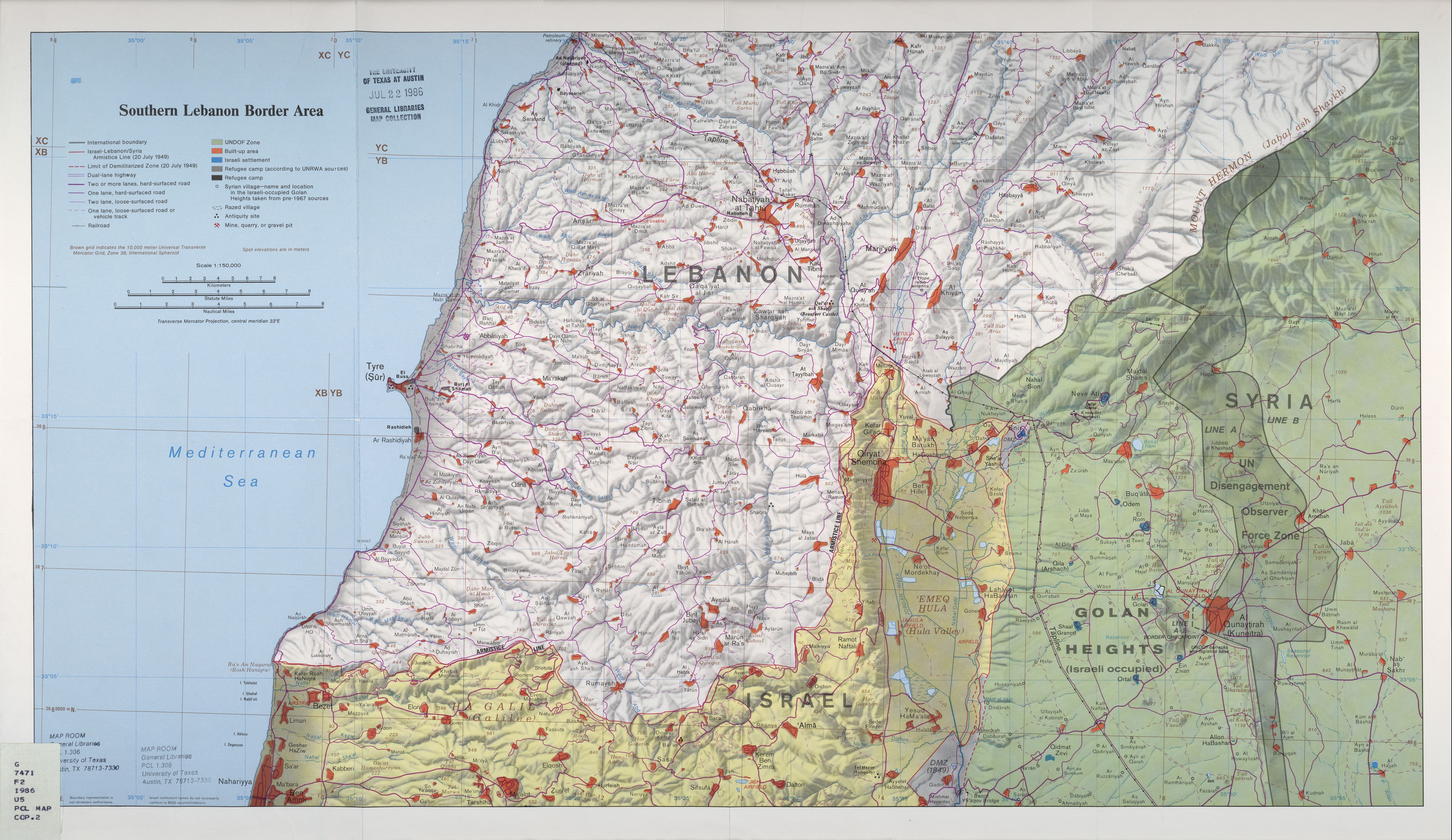
'Ayn Fit (Arabic: عين فيت), was a Syrian Alawite village situated in the northwestern Golan Heights.[1] [2]
'Ayn Fit was established during the early 17th century.[3] The inhabitants were forcibly expelled during the Six Day war and the village was destroyed by Israel.[4] The population before the war was around 1500 people.[3]
Before the 1967 war, it was one of three mainly Alawite villages in the Golan Heights together with Za'ura and Ghajar.[5]
The German explorer Ulrich Jasper Seetzen visited 'Ayn Fit in 1806 during his travels in the region.[6]