
| Type: | suburb |
| Samford Village | |
| State: | qld |
| Coordinates: | -27.3736°N 152.8858°W |
| Local Map: | yes |
| Zoom: | 14 |
| Pop: | 819 |
| Postcode: | 4520 |
| Area: | 1.4 |
| Timezone: | AEST |
| Utc: | +10:00 |
| Dist1: | 18.7 |
| Dir1: | SW |
| Location1: | Strathpine |
| Dist2: | 21.9 |
| Dir2: | NW |
| Location2: | Brisbane CBD |
| Lga: | City of Moreton Bay |
| Stategov: | Pine Rivers |
| Fedgov: | Dickson |
| Near-N: | Samford Valley |
| Near-Ne: | Samford Valley |
| Near-E: | Samford Valley |
| Near-Se: | Camp Mountain |
| Near-S: | Camp Mountain |
| Near-Sw: | Samford Valley |
| Near-W: | Samford Valley |
| Near-Nw: | Samford Valley |
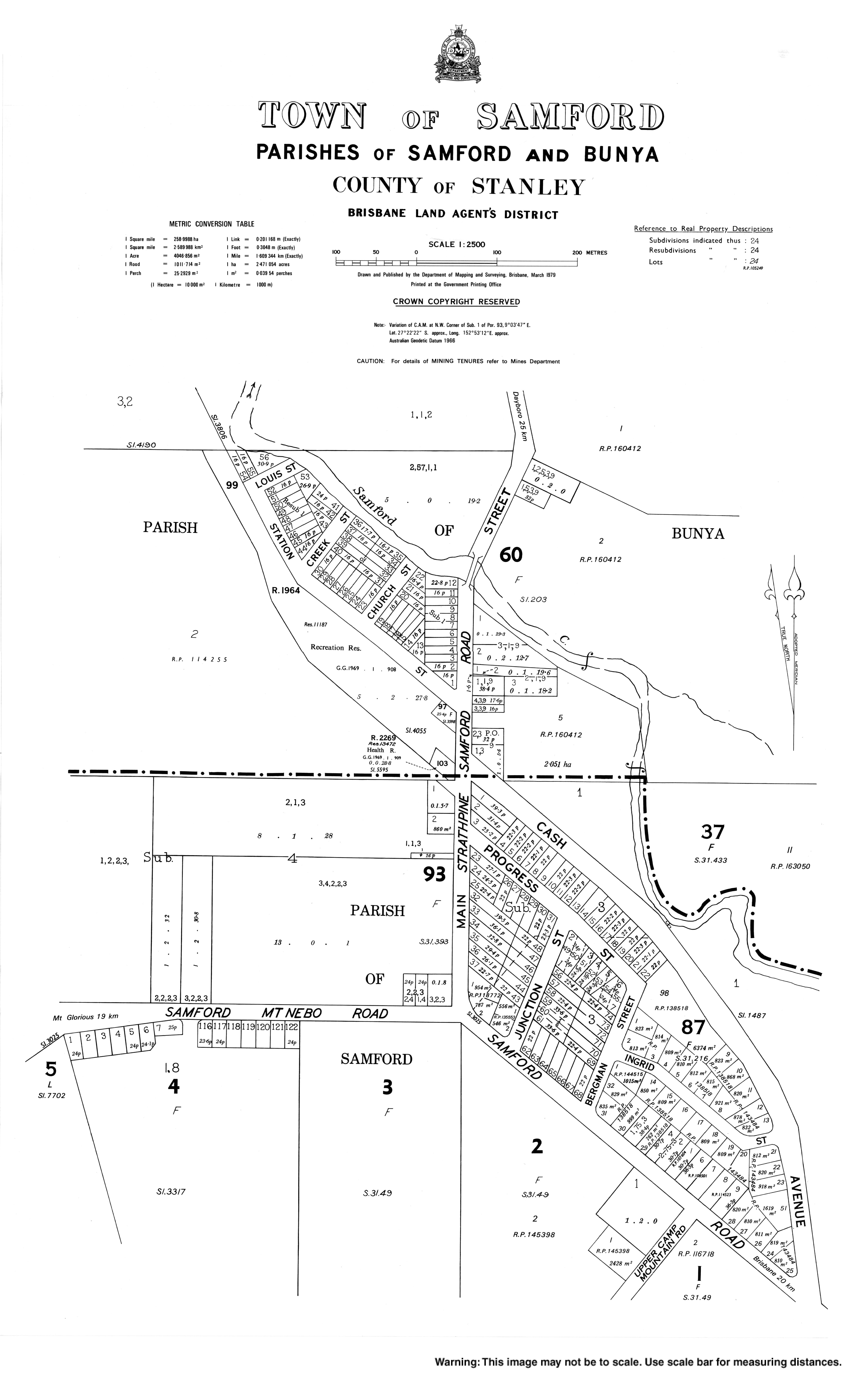
Samford Village is a rural locality in the City of Moreton Bay, Queensland, Australia.[1] It is one of two localities in the town of Samford (-27.3722°N 152.8869°W), the other being Samford Valley.[2] The town's urban area occupies much of the land of the locality. In the, Samford Village had a population of 819 people.
In 1981, the locality of Samford was split into two localities: Samford Village around the town and Samford Valley wrapping around the village to the west, north, and east.[3]
In the, Samford Village had a population of 796 people.
In the, Samford Village had a population of 819 people.
Samford State School is a government primary (Prep-6) school for boys and girls at School Road (-27.3765°N 152.8807°W).[4] [5] In 2018, the school had an enrolment of 850 students with 61 teachers (52 full-time equivalent) and 37 non-teaching staff (23 full-time equivalent).[6] It includes a special education program.
There is no secondary school in Samford. The nearest government secondary school is Ferny Grove State High school in Ferny Grove to the south-east.
The Samford branch of the Queensland Country Women's Association meets at the QCWA Hall at 31 Main Street.[7]
The Samford Support Network is a group of volunteers providing a variety of services to community members who are ill, elderly, living with a disability, or struggling.[8]