
| Yeropol | |
| Other Name: | Еропол |
| Pushpin Map: | Russia Chukotka Autonomous Okrug |
| Pushpin Map Caption: | Mouth location in Chukotka, Russia |
| Source1 Location: | Oloy Range Kolyma Mountains |
| Source1 Elevation: | 618m (2,028feet) |
| Source1 Coordinates: | 64.8492°N 165.3783°W |
| Mouth: | Anadyr |
| Mouth Coordinates: | 65.2525°N 168.6269°W |
| Subdivision Type1: | Country |
| Subdivision Name1: | Russia |
| Subdivision Type2: | Federal subject |
| Subdivision Name2: | Chukotka Autonomous Okrug |
| Subdivision Type3: | District |
| Subdivision Name3: | Anadyrsky District |
| Length: | 2610NaN0 |
| Mouth Elevation: | 148m (486feet) |
| Basin Size: | 10700km2 |
The Yeropol (Russian: Еропол) is a river in Chukotka Autonomous Okrug, Russia. It has a length of 261km (162miles) and a drainage basin of 10700km2.
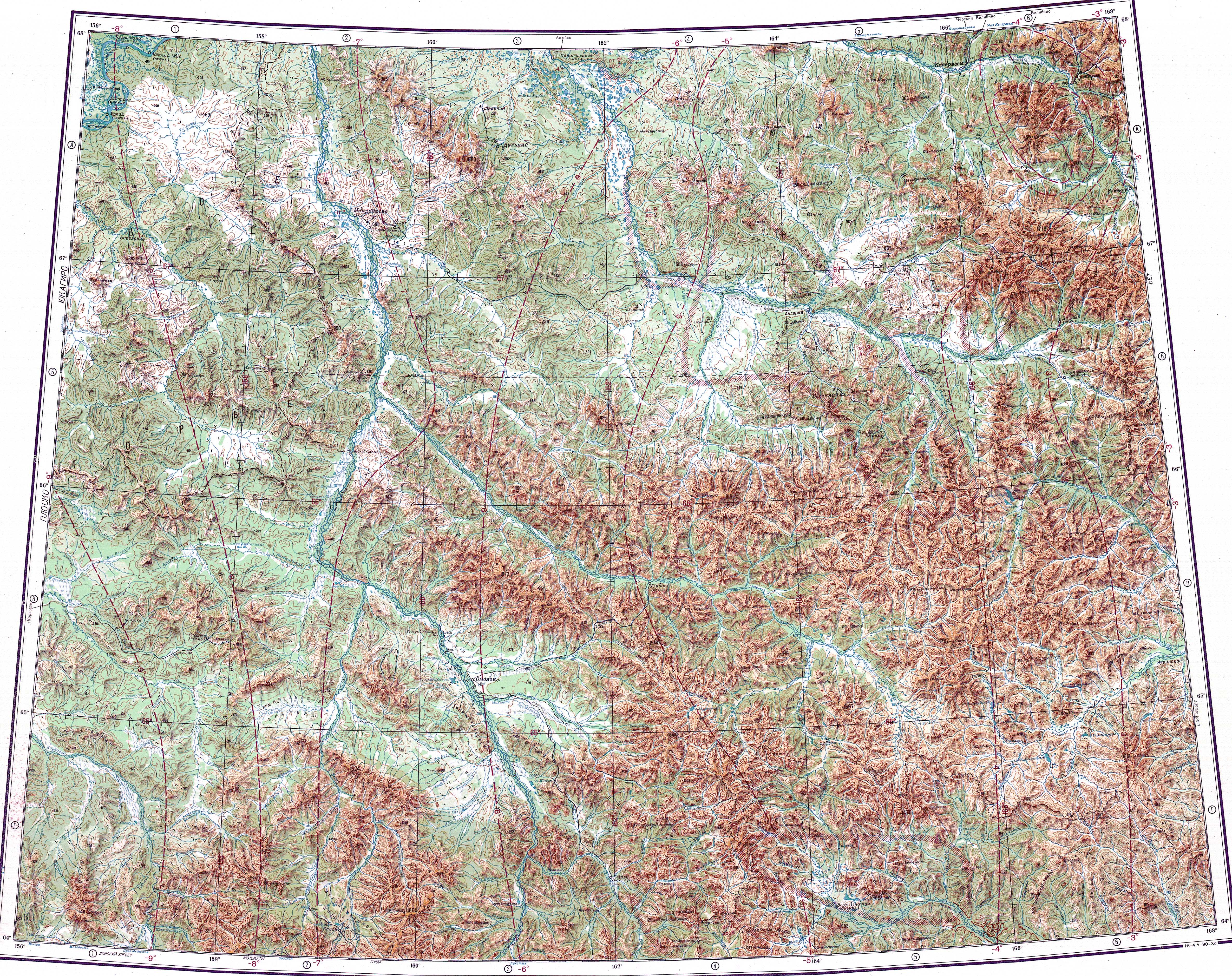
The Yeropol is a right tributary of the Anadyr and its basin is in a mountainous area of Chukotka. The village of Chuvanskoye is located in the middle course of the river.[1] The name of the river originated in the Yukaghir language.
The Yeropol river was known to Russian explorers since the 17th century.[2]
In 1984 two archeological sites were discovered in the upper reaches of the Yeropol. There are remains of different eras, ranging from the Mesolithic to the Neolithic.[3]
The source of the Yeropol is in the eastern section of the Oloy Range, 600NaN0 to the south of 1787m (5,863feet) high Mount Snezhnaya. The river heads first southeastwards in its upper course, then it bends and flows in a steady ENE direction until its mouth. In its last stretch it enters a plain bound by mountains on both sides, where it divides into multiple branches. Finally it joins the right bank of the Anadyr a little downstream from the mouth of the Yablon, 740km (460miles) from its mouth.[4]
The main tributaries of the Yeropol are the 102km (63miles) long Umkuveyem and 85km (53miles) long Atakhayevskaya from the left. The river and its tributaries are frozen for between eight and nine months every year.[5]